Sequoia National Park sits 225 miles from Los Angeles, and the National Park Service puts the drive at about four hours to the Ash Mountain entrance. Real trips run four to five and a half once you factor in LA traffic, and that's before the slow climb from the gate up to the big trees. It's close enough to reach in a morning, far enough that you should plan around it.
This guide covers the route, the stops worth building in, the honest math on a day trip, a two-to-three-day version that adds Kings Canyon, and the practical details most guides skip: the cashless entrance policy, the no-gas-inside-the-park rule, and the GPS traps that put drivers on dirt roads.
How Far Is Sequoia National Park From Los Angeles?
The National Park Service's official figure is 225 miles (362 km) from the Los Angeles area to the Ash Mountain entrance, about four hours of driving. That assumes light traffic the whole way, which LA almost never gives you. Budget 4.5 to 5.5 hours door-to-gate on a typical day, longer on a Friday afternoon.
The time goes to three very different stretches. The first hour is LA metro crawl, whatever your navigation app promises. Then come 150 fast, flat miles up CA-99 through the Central Valley, where you'll hold highway speed past Bakersfield and Visalia. The last hour is the part GPS gets wrong: CA-198 beyond Three Rivers tightens into a winding mountain road, and the switchbacks inside the park eat time far faster than the mileage suggests. Your phone's estimate stops being useful somewhere around Visalia.
Two timing rules follow from that shape. Leave before 7am to beat the worst of rush hour; if you're attempting a day trip, leave before 6am. And remember the entrance isn't the destination — Ash Mountain is just the gate at the bottom. From there it's roughly 45 more minutes of climbing to Moro Rock and the Giant Forest, so the trees are effectively five hours from LA. For reference, Visalia is 36 miles from the entrance, about 45 minutes out, which matters when you're choosing where to sleep.
The Best Route From LA (and Which Entrance to Use)
Take any highway to I-5 N, continue onto CA-99 N toward Bakersfield, take exit 96 onto CA-198 E toward Visalia, and follow 198 through Visalia and Three Rivers to the Ash Mountain entrance. That's the route for Sequoia proper, and it's the one to load into your maps before you leave — because your maps app may betray you. The park service warns that GPS and online mapping services sometimes route drivers onto remote unpaved roads near the parks. Stick to Highway 198 for Sequoia and Highway 180 for Kings Canyon, and turn off the "avoid tolls" setting, which can trigger those bad reroutes. If you want more on getting there generally, our Sequoia directions guide breaks down every approach.
The alternative is CA-180 through Fresno, entering at Big Stump near the Sequoia–Kings Canyon boundary. It's the better choice if Kings Canyon or Grant Grove is your first stop, if you're driving a long vehicle, or if you're continuing toward Yosemite afterward. We compare the two below.
| CA-198 via Visalia | CA-180 via Fresno | |
|---|---|---|
| Best for | Sequoia's Giant Forest and Moro Rock | Kings Canyon, Grant Grove, or Yosemite-bound trips |
| Entrance | Ash Mountain, via Three Rivers | Big Stump, via Fresno |
| Long vehicles | Discouraged — tight switchbacks above Potwisha | Preferred route for RVs and long vehicles |
| The catch | Winding climb from Three Rivers; slow going | Longer in miles, easier in curves |
Vehicle length matters on 198. The park service advises against vehicles longer than 24 feet (7.3 m) between Foothills Visitor Center and Potwisha Campground, and against anything over 22 feet (6.7 m) between Potwisha and the Giant Forest Museum. If you're towing or driving a rental RV, come in on 180.
One more thing before the Grapevine: cell reception gets spotty past Bakersfield. Download offline maps in LA, while you still have bars.
Getting to Sequoia Without Driving Yourself
You have three car-free options, and none of them is fast. There is no direct bus from Los Angeles. The land route runs from LA Union Station to the Visalia Transit Center, then onward to the Giant Forest Museum, and the whole journey takes roughly seven and a half hours each way with transfer waits. The final leg depends on the Sequoia Shuttle, which runs only from late May to early September and costs about $20 round trip — in shoulder season the connection simply doesn't exist, and you'd be looking at an overnight in Visalia or Fresno to make it work.
Flying is the smarter car-free play. Los Angeles to Fresno Yosemite International (FAT) is a short hop, and from the airport it's about 1 hour 45 minutes by rental car to the Sequoia entrance. That suits travelers who'd rather not do 9-plus hours of round-trip driving, or anyone pairing the park with a longer California loop.
Guided day tours from LA bundle transport, a guide, and the park highlights into one booking — you trade flexibility for not watching the odometer. Our tours departing from Los Angeles page lists what's available. The honest verdict: for most travelers, driving yourself wins. You control the departure time, the stops, and how long you stand under the Sherman Tree.
Best Stops on the Drive From LA to Sequoia
With a weekend, two or three stops turn the drive into part of the trip. Day-tripping? Skip all of it and go direct — every minute is spoken for.
Santa Clarita: Vasquez Rocks
Roughly 35 minutes out of LA, Vasquez Rocks is the first stop worth making. The tilted sandstone formations have served as a backdrop for countless films, and you can walk among them in half an hour. Placerita Canyon and the Agua Dulce wineries are nearby if you'd rather ease into the day with a glass than a scramble.
Bakersfield: Fuel, Groceries, Last Big City
Bakersfield is the last large city before the park, and this is where you top off the tank and buy groceries — fuel prices climb steadily once you're past it, and there's nothing to buy inside the park anyway. In season, Murray Family Farms just south of town sells produce and homemade goods worth a stop. History buffs can detour to Colonel Allensworth State Historic Park near Delano, about 45 minutes from Bakersfield: the only California town founded, financed, and governed by African Americans, established in 1908. Fort Tejon, on the Grapevine, is the other quick historic pull-off.
Three Rivers: Last Town Before the Gate
Three Rivers is the final chance for food, fuel, and anything you forgot. Orange Works is the local cafe stop for coffee and pastries; Slick Rock Recreation Area on the Kaweah River charges $10 to park and gives you a swimming hole with Sierra granite around it. From here CA-198 starts climbing past Lake Kaweah, and the flat valley finally gives way to foothills — the first scenery of the day that looks like the trip you signed up for. Lemon Cove, just before Three Rivers, has a small statue of John Muir if you want one last roadside quirk.
Antelope Valley Poppy Detour (March–May)
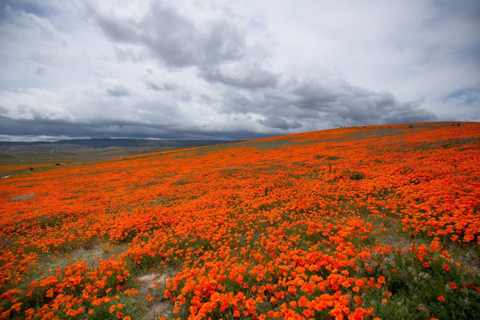
In spring, the Antelope Valley Poppy Reserve is a detour of about an hour off the main route, and in a good bloom year it's worth every minute — hillsides turned solid orange. Blooms run roughly March through May but vary wildly by rainfall. Check the reserve's live bloom camera before committing; a burnt-out year is a long way to drive for brown hills.
Sequoia Day Trip From LA: The One-Day Game Plan
Here's the honest math: a Sequoia day trip from LA means about 10 hours of total driving — five each way — for 2.5 to 3 hours in the park. That's a legitimate trade for some people and a miserable one for others. If you have young kids, hate night driving, or wilt on long road days, book a night in Visalia instead and don't torture yourself. If you're set on it, the plan below works.
Leave before 6am. Skip every stop. Go straight to the park, and hit the highlights in this order:
- Foothills Visitor Center — maps, restrooms, ten-minute leg stretch
- Moro Rock — the 400-step stair climb to the views
- Tunnel Log and Crescent Meadow — drive-through tree and easy loop
- General Sherman Tree — the main event, half-mile paved trail
- Congress Trail — a two-mile loop if the clock allows
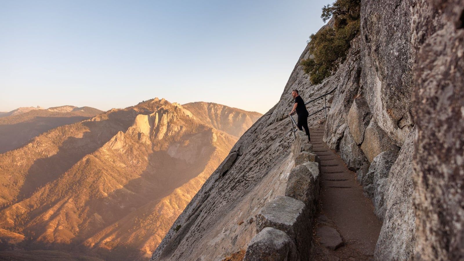
From the Ash Mountain entrance, it's about 45 minutes of switchbacks up to Moro Rock. The climb is roughly 400 carved steps bolted to a 6,725-foot granite dome, 20 to 30 minutes round trip, and it pays off with the best view in the park: the Great Western Divide on one side, the Kaweah River canyon dropping away on the other. Go slow on the stairs; the railing is there for a reason.
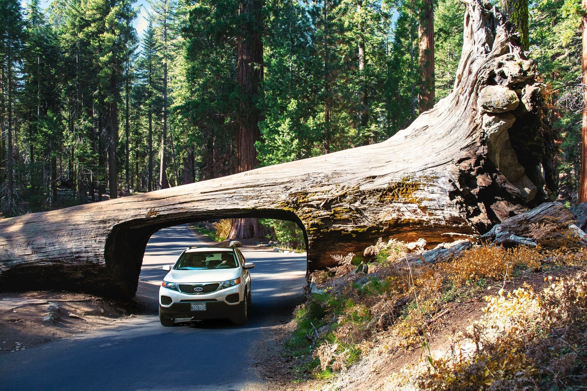
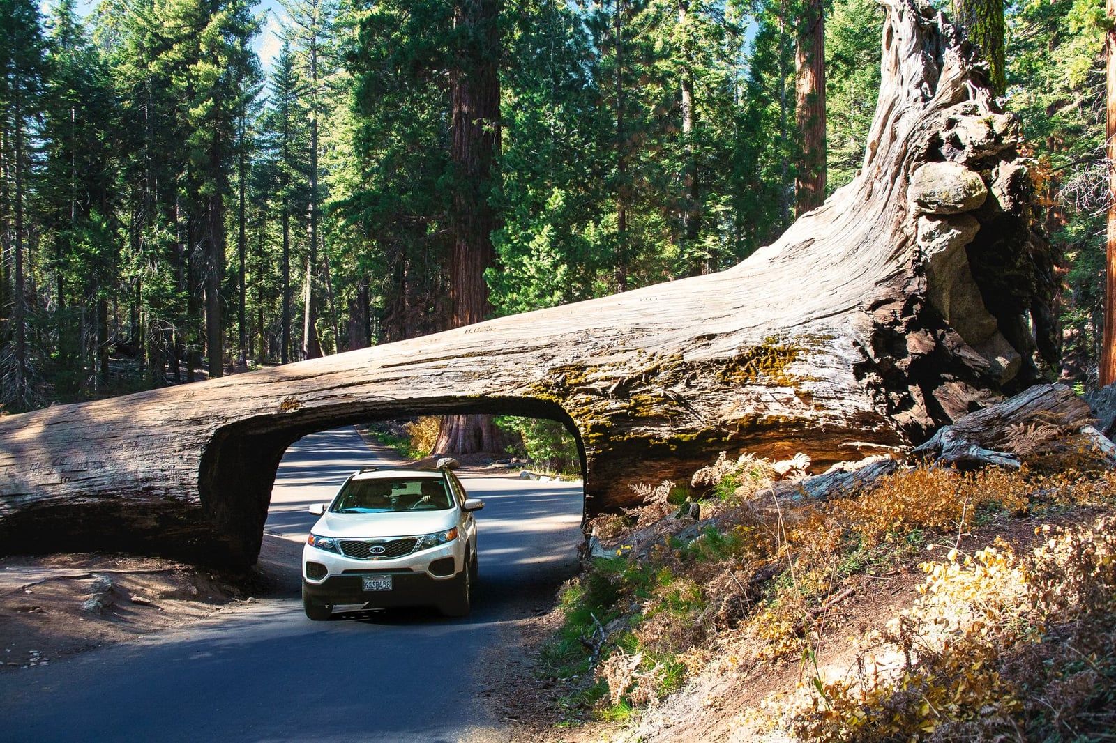
Next, the Moro Rock–Crescent Meadow Road delivers two easy hits. Tunnel Log is a fallen giant sequoia, toppled in 1937 and carved through so cars can drive across it — a 30-second novelty, but a fun one. Crescent Meadow, a short walk from the same parking area, is an easy loop ringed by sequoias that John Muir called the "Gem of the Sierra."
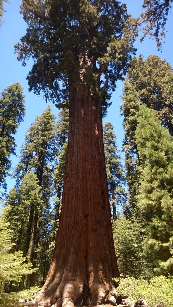
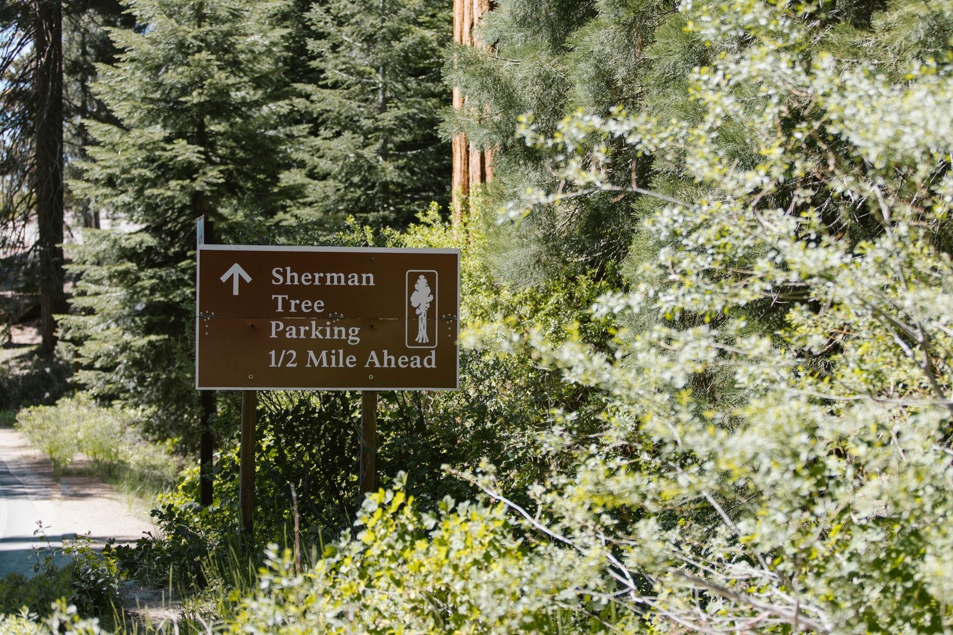
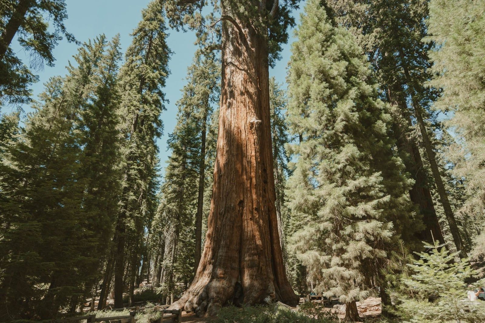
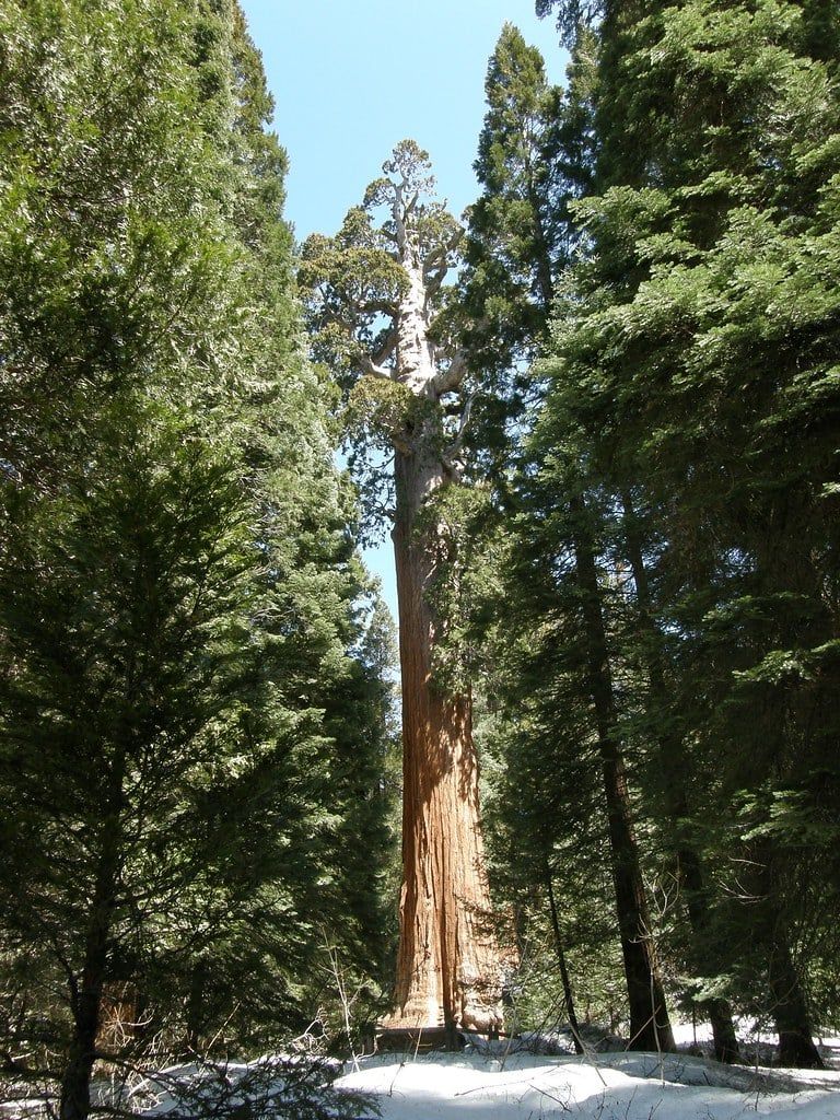
Save the biggest for last: the General Sherman Tree, the largest tree on Earth by volume at 274.9 feet tall and 52,508 cubic feet, and estimated at more than 2,000 years old. The trail from the main lot is a half mile, paved, and downhill on the way in — remember the uphill return when your legs are already tired. If the clock is kind, extend onto the Congress Trail, a loop of about two miles past the President Tree and the rest of the grove's named giants. Our complete things-to-do guide covers these and everything else the park holds.
The Weekend Version: 2–3 Days Plus Kings Canyon
With two days, the structure almost writes itself. Day 1 is the Giant Forest — everything in the day-trip plan above, minus the panic, plus time for the Giant Forest Museum and a picnic at Crescent Meadow. Day 2, drive the Generals Highway north into Kings Canyon. The same $35 pass covers both parks for seven days, so the second park is effectively free. For a fuller breakdown of the two parks side by side, see our Kings Canyon vs Sequoia comparison.
Kings Canyon in a Day
Grant Grove is the anchor: the General Grant Tree, the second-largest tree in the world and the so-called Nation's Christmas Tree, sits on an easy 0.7-mile loop. Add the Big Stump Loop and the drive-up view at Panoramic Point, and if the day runs long, Hume Lake — about 11 miles from Grant Grove Village — has swimming and a dining hall that kids tend to vote for. And the canyon itself is the draw: Kings Canyon is one of the deepest in North America, deeper than the Grand Canyon.
If You Have a Third Day
Two directions, pick one. East into Kings Canyon's Cedar Grove for Zumwalt Meadow and granite walls that recall Yosemite — but only in season, since the Kings Canyon Scenic Byway closes for winter and spring snowpack; Cedar Grove typically opens May through early-to-mid November. Or go deeper into Sequoia: Tokopah Falls, a moderate trail just under 4 miles with about 600 feet of gain, or the Watchtower Trail, 8.3 miles and about five hours of steady walking.
Crystal Cave
Crystal Cave is the best rainy-day or hot-afternoon option: a marble cavern with stalactites and stalagmites, toured with a ranger for about 50 minutes at a constant 48°F. Tours cost around $24 per person, run roughly May through October, and must be reserved in advance — tickets aren't sold at the cave. Figure about 45 minutes of driving from the Giant Forest, plus a steep half-mile walk down from the parking area. Our Crystal Cave guide has the booking details.
Entrance Fees, Passes and Payment Rules
Entry costs $35 per private vehicle, valid for one to seven days, and it covers everyone in the car across both Sequoia and Kings Canyon plus the Hume Lake District of Sequoia National Forest. No timed-entry reservation is needed — you just show up. That pass is the strongest argument for the two-park weekend: day two is already paid for.
| Pass | Price | Covers |
|---|---|---|
| Private vehicle | $35 | 1–7 days, both parks, everyone in the car |
| Motorcycle | $30 | Up to 2 motorcycles, 4 people |
| On foot or bicycle | $20/person | Age 16+, per day |
| Sequoia & Kings annual | $70 | One year, both parks |
| America the Beautiful | $80 | One year, all US national parks |
On the payment side, there's a rule that catches people off guard: the entrance stations are cashless. Cards, debit, and mobile payments only. If you're carrying cash, you can buy a pass at the Sequoia Parks Conservancy stores inside the Foothills Visitor Center in Three Rivers or the Kings Canyon Visitor Center at Grant Grove — buy before you drive through the gate. The break-even math on the annual passes is simple: the $80 America the Beautiful pays for itself on your third national park visit of the year; the $70 park-only version needs three Sequoia trips. The park also runs several free-entrance days each year. Full details are in our hours and fees guide.
Driving Conditions, Fuel and Safety: What to Know Before You Go
Winter changes the trip completely. Snow, ice, and temporary high-elevation closures run roughly December through April, and tire chains can be required at any time during storms — carry them from November to April even if you never clip them on. Before leaving, call the park's road status line at 559-565-3341. The Tejon Pass stretch of I-5, the Grapevine, has its own winter weather delays, so a storm can slow you before you've even left Southern California. Our winter in Sequoia guide covers the snowy version of this drive in detail.
Summer has the opposite problem: lines. Entrance queues build on Fridays, Saturdays, and holidays between Memorial Day and Labor Day, and Giant Forest parking fills by mid-morning. Arrive at the gate early, park once, and use the free shuttle that loops the Giant Forest and Lodgepole areas rather than circling lots.
Fuel is the rule people regret most: there are no gas stations or EV chargers inside the park. The only fuel anywhere near it is seasonal, at Stony Creek Village on national forest land; the reliable options are Three Rivers and Dunlap outside the boundaries. The workable plan is simple — fill up in Bakersfield, top off in Three Rivers if you're low. EV drivers should arrive with generous range and a plan to charge back in the valley.
On the road itself, the Generals Highway from the foothills to the Giant Forest is narrow, curvy, and steep, with blind corners and drop-offs. Use the turnouts, let faster traffic pass, and don't trust the straight-line distance on the signs. And once you're parked: keep all food and coolers out of sight or in a bear box. Sequoia's black bears know what a grocery bag looks like through a car window, and a fine is the cheap outcome — a destroyed car or a euthanized bear is the expensive one.
Where to Stay: In the Park, Three Rivers or Visalia
Wuksachi Lodge is the only hotel inside Sequoia, and it books accordingly — reserve six months or more ahead for summer dates. It puts you minutes from the Giant Forest trailheads, which means sunrise at Moro Rock without a pre-dawn drive from the valley. Camping is the other in-park option: six reservation campgrounds (Potwisha, Buckeye Flat, Lodgepole, Dorst Creek, Cold Springs, and Atwell Mill), all booked through recreation.gov. Potwisha is the only one open year-round, and its lower elevation makes it the warm choice in the shoulder seasons.
Outside the park, it's a trade between charm and choice. Three Rivers is the closest town to the gate, small and pleasant, with limited inventory — book early for summer weekends. Visalia sits about 30 minutes farther out and has the best selection of hotels and restaurants in the region; it's also the smart overnight fallback if a day trip runs long and you'd rather not drive five hours home in the dark. Bakersfield, midway on the route, works for travelers who'd rather split the drive into two easy halves. If you're mapping out the full trip, our Sequoia itinerary guide builds in the lodging stops day by day.
Frequently asked questions
How far is Sequoia National Park from Los Angeles, and how long does the drive take?
Officially 225 miles (362 km) from the LA area to the Ash Mountain entrance, about 4 hours via I-5 N, CA-99 N, and CA-198 E. Realistically, budget 4.5 to 5.5 hours with traffic, plus about 45 more minutes of climbing to reach the Giant Forest.
Can you do Sequoia National Park as a day trip from LA?
Yes, but it's a grind: roughly 10 hours of total driving for 2.5 to 3 hours in the park. Leave before 6am, follow the Foothills Visitor Center, Moro Rock, Tunnel Log, General Sherman order, and consider sleeping in Visalia rather than driving back after dark.
What's the best route from LA — Highway 198 or Highway 180?
Highway 198 through Visalia and the Ash Mountain entrance is fastest for Sequoia's Giant Forest. Highway 180 through Fresno and the Big Stump entrance is better for Kings Canyon combos, long vehicles, and Yosemite-bound trips. Never follow GPS onto shortcut roads off these two highways.
How much does it cost to enter Sequoia, and do you need a reservation?
$35 per private vehicle, valid 7 days across both Sequoia and Kings Canyon, with no timed-entry reservation required. Entrance stations take card and mobile payment only; cash users can buy a pass at the visitor centers at Foothills or Grant Grove instead.
Do you need tire chains or 4WD to drive to Sequoia in winter?
Chains can be required during storms, roughly November through April, and high-elevation roads close temporarily in snow. The Grapevine stretch of I-5 can also slow you down in winter. Check road conditions at 559-565-3341 before leaving.
Can you get to Sequoia from Los Angeles without a car?
Not easily. There's no direct bus: connections via the Visalia Transit Center and the summer-only Sequoia Shuttle take roughly 7.5 hours each way. Flying LA to Fresno (FAT) and renting a car cuts the last leg to about 1 hour 45 minutes; guided tours from LA are the other option.
Is it worth adding Kings Canyon National Park to the trip?
Yes, if you have two or more days. The same $35 pass covers both parks, the Generals Highway connects them, and the General Grant Tree sits on an easy 0.7-mile loop. Kings Canyon is one of the deepest canyons in North America — deeper than the Grand Canyon.
Where's the last place to get gas and food before Sequoia?
Bakersfield is the last big city for fuel and groceries; Three Rivers is the last town before the gate. There are no gas stations or EV chargers anywhere inside the park boundaries — the only nearby fuel is seasonal at Stony Creek Village.