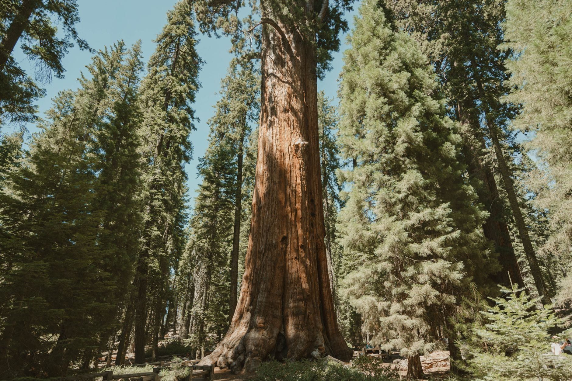
The drive from Yosemite to Sequoia National Park is the connective leg of the classic Sierra Nevada road trip — and the first thing to know is that no road crosses the mountains between them. You'll drop south into the Central Valley, pass through or near Fresno, and climb back up into the big trees. It's 2.5 hours if you measure gate to gate, closer to four and a half if you start in Yosemite Valley and end at Sequoia's Giant Forest. This guide covers the real numbers, both highway options, the stops worth your time, and the road rules that actually bite people.
If you're still weighing whether the pairing works, our Sequoia vs Yosemite comparison breaks down what each park does best; for most travelers the answer is both.
Yosemite to Sequoia: Distance and Drive Time at a Glance
Here's the honest answer to the question you searched for: it depends where you start counting. Park entrance to park entrance, the drive is about 138 miles (222 km) and takes around two and a half hours. From Yosemite Valley — where most people are actually staying — to Sequoia's Giant Forest, it's about 175 miles and four to four and a half hours. The Valley sits at the end of a dead-end road, and that last 40 minutes of valley driving adds real time to the trip.
Why the detour? The two parks sit roughly 90 miles apart as the crow flies, but no paved road crosses the Sierra crest through Sequoia and Kings Canyon — only trails connect the west side to the east. Every driving route drops south to the Central Valley near Fresno and climbs back into the mountains. There's no way around it, so plan for it rather than fighting it.
Geographically, the setup is simple. Sequoia sits directly south of Yosemite, with Kings Canyon wedged between them. Driving south, you leave Yosemite on Highway 41, cross the valley floor around Fresno, then ascend on either Highway 198 or Highway 180 — a choice that shapes the whole day, and one we'll settle below.
| Leg | Distance | Drive time |
|---|---|---|
| Yosemite entrance (Hwy 41) → Kings Canyon Big Stump entrance | 130 mi (209 km) | ~2 h 30 |
| Park entrance → park entrance (shortest measure) | ~138 mi (222 km) | ~2 h 30 |
| Yosemite Valley → Giant Forest (Lodgepole) | ~175 mi (281 km) | 4–4.5 h |
Choosing Your Route: The Two Highways (and Doing It in Reverse)
Both routes share the same first half: Highway 41 south out of Yosemite to Fresno. The fork comes at the bottom of the valley, where you either turn toward Visalia or keep pushing east — and that single turn decides whether Kings Canyon is part of your day.
Route A: Highway 198 — the direct way to Ash Mountain
From Yosemite Valley, take Highway 41 south to Fresno — 94 miles, about two hours and a quarter — then pick up Highway 99 and Highway 198 east through Visalia to Sequoia's Ash Mountain entrance. Total driving time from the Valley runs about four hours. It's the fastest option and puts you on the Generals Highway climbing toward Giant Forest with no detours.
The trade-off is the road itself. Highway 198 from Ash Mountain up to the sequoia groves is steep and full of tight switchbacks above the Kaweah River — dramatic, but slow going and hard work in anything longer than a sedan.
Route B: Highway 180 — the Kings Canyon loop
Same start: Highway 41 to Fresno. But instead of Highway 198, take Highway 180 east to Kings Canyon's Big Stump entrance, stop at Big Stump Grove and the General Grant Tree, then follow the Generals Highway south into Sequoia. Grant Grove sits about three and a half hours from Yosemite Valley; the full run to Giant Forest adds roughly 30 minutes over the direct route. That half hour buys you the second-largest tree on Earth and one of the best mountain drives in California for free.
The Generals Highway is the only road connecting Sequoia and Kings Canyon, so if you want both parks this route isn't optional. Continuing past the Hume Lake junction down to Cedar Grove, on the canyon floor, pushes the day closer to four hours on a road that's only open part of the year. For help deciding how much of Kings Canyon to fold in, see our Kings Canyon vs Sequoia National Park breakdown.
| CA-198 via Ash Mountain | CA-180 via Big Stump | |
|---|---|---|
| Total drive time | About 4 hours from Yosemite Valley | About 4.5 hours — adds ~30 minutes |
| What you get | Fastest path to Giant Forest | Big Stump Grove, General Grant Tree, Generals Highway drive |
| Road character | Steep, tight switchbacks above the Kaweah River | Straighter, wider, gentler grades |
| Best for | Speed; travelers headed straight to Sequoia's groves | RVs and long vehicles; anyone adding Kings Canyon |
One warning from the National Park Service that's worth repeating: online mapping apps sometimes suggest remote unpaved "shortcuts" across the mountains that can strand or damage your car. Enter Sequoia on Highway 198 and Kings Canyon on Highway 180, and switch off the "avoid tolls" setting so your GPS doesn't route you onto forest roads.
Driving the other direction? Everything above works identically in reverse. Leave Sequoia on the Generals Highway, drop to the valley via either highway, and Highway 41 carries you north into Yosemite — the Fresno fuel-and-food stop matters even more on this leg, since there's nothing between the parks to stop for.
Best Stops Along the Way, Organized by Route
The mistake most stop lists make is mixing corridors — Bass Lake and Hume Lake are hours apart on different highways. Here's what's actually on your route, in the order you'll hit it.
Leaving Yosemite: Tunnel View and Bridalveil Fall
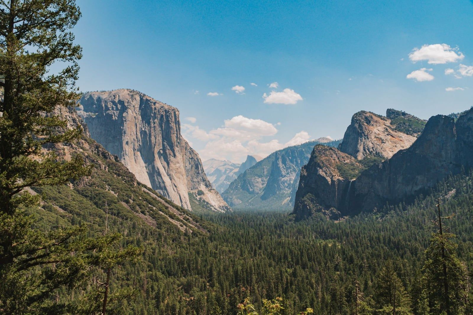
Both sit right where you need them, on or beside Highway 41 as you leave the Valley. Tunnel View frames El Capitan, Half Dome, and Bridalveil Fall in a single glance — five minutes from the road. Bridalveil itself drops 617 feet (188 m) and takes about 20 minutes round trip to visit. If you haven't seen either yet, this is your send-off.
The Highway 41 corridor: Fish Camp, Oakhurst, and Bass Lake
Fish Camp, just outside Yosemite's south entrance, has the Yosemite Mountain Sugar Pine Railroad — a historic logging-train ride that kids tend to rank above the granite. Oakhurst, a few minutes further, is the last real town before a long rural stretch; it's the sensible spot for coffee and a forgotten hat. Bass Lake sits about 30 minutes off the corridor, a five-mile watersports lake with swim beaches and boat rentals — worth the detour only if you're building a lazy morning into the drive.
Fresno: the midpoint
Fresno is the only city on this drive, sitting almost exactly halfway. Treat it as your mandatory stop: fill the tank (more on why in the practical section), buy real food, and check the road report. If you have an hour to spare, the Forestiere Underground Gardens — a hand-dug network of underground rooms and gardens — is the one genuinely strange attraction on the route. For the southern half of the drive, our Fresno to Sequoia route guide covers the climb in detail.
After Fresno the services thin out fast. Once you leave the Highway 99 corridor, gas stations and open restaurants get scarce until the gateway towns — plan accordingly.
Highway 180 and the Generals Highway: Big Stump to Hume Lake
This is where Route B pays off. Big Stump Grove sits just inside Kings Canyon's Big Stump entrance; the General Grant Tree — the second-largest tree in the world and the designated "Nation's Christmas Tree" — is a short paved loop from the road. Further along, Grizzly Falls roadside cascade needs no hike at all, and Zumwalt Meadow offers a mellow loop walk beneath canyon walls. Hume Lake, about 11 miles from Grant Grove, has swimming and boating in summer and is the natural place to break up the Generals Highway.
When to Drive It: Seasons, Road Closures, and Crowds
Mid-June through September is the everything-open window, and if your dates are flexible it's the one to target. Tioga and Glacier Point roads are open in Yosemite, the Kings Canyon byway down to Cedar Grove is clear, every shuttle and cave tour is running, and the sequoia groves sit in comfortable summer temperatures. That convenience costs you crowds — especially in Yosemite Valley.
May and early June trade reliability for waterfalls at their thundering best. Late September and October bring thinning crowds, fall color in the mid-elevation forests, and days that are still fine for hiking. Winter is possible but transformative: the parks stay open 24/7, but the high roads close and chain controls appear. For a deeper look at what each season delivers, our best time to visit Sequoia guide has the month-by-month detail.
- Tioga Road (Yosemite): closed roughly November to late May or June
- Glacier Point Road (Yosemite): similar winter closure schedule
- Kings Canyon Scenic Byway past the Hume Lake junction: closed mid-November to late April
- Generals Highway: open year-round, but chain controls possible September–May
Crowds are asymmetric. Yosemite drew 4.2 million visitors in 2025, making it one of the five busiest US national parks; Sequoia and Kings Canyon together counted just over 2 million in 2023. You'll feel the difference at the trailheads: the Congress Trail at 9 a.m. is nothing like the Mist Trail at 9 a.m.
One packing note for the drive itself: the route swings from about 4,000 feet in Yosemite Valley to roughly 300 feet in Fresno to around 6,400 feet at Giant Forest. Expect different weather at every stop, especially in spring and fall — layers, not one outfit for the day.
How Many Days You Need — and How to Split Them
The single most-asked planning question for this trip has a simple answer with a decision rule attached: the drive costs half a day, so one full day per park is the floor. Everything above that is a matter of how much you want to see.
Why one day for both parks is a bad trade
The math is unforgiving. The transfer alone costs 2.5 to 4.5 hours depending on your start and end points, so a single day leaves you a couple of hours in each park — enough for General Sherman, Moro Rock, and a drive-by of Yosemite Valley, and nothing else. It's technically possible and honestly rushed. One full day per park is the realistic floor.
The 3-day minimum and the 5-day version
With three days, run one day in Yosemite, one day in Sequoia (Giant Forest and Moro Rock), and one day for the drive itself with Kings Canyon's groves folded into the Highway 180 route. It works, but it's tight — you'll be skipping half of what you came for.
Five days is the split we'd recommend: two for Yosemite, two for Sequoia, one for Kings Canyon, with the transfer absorbed into the Kings Canyon day. Structure the trip so you start in the park you'll spend the least time in and build toward your headliner — that's usually Yosemite, which is why most people drive this route southbound. Our Sequoia itinerary guide lays out the day-by-day detail.
What a Sequoia day looks like
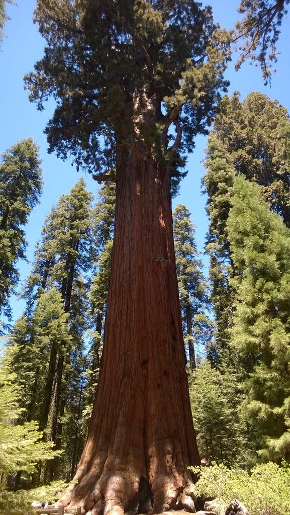
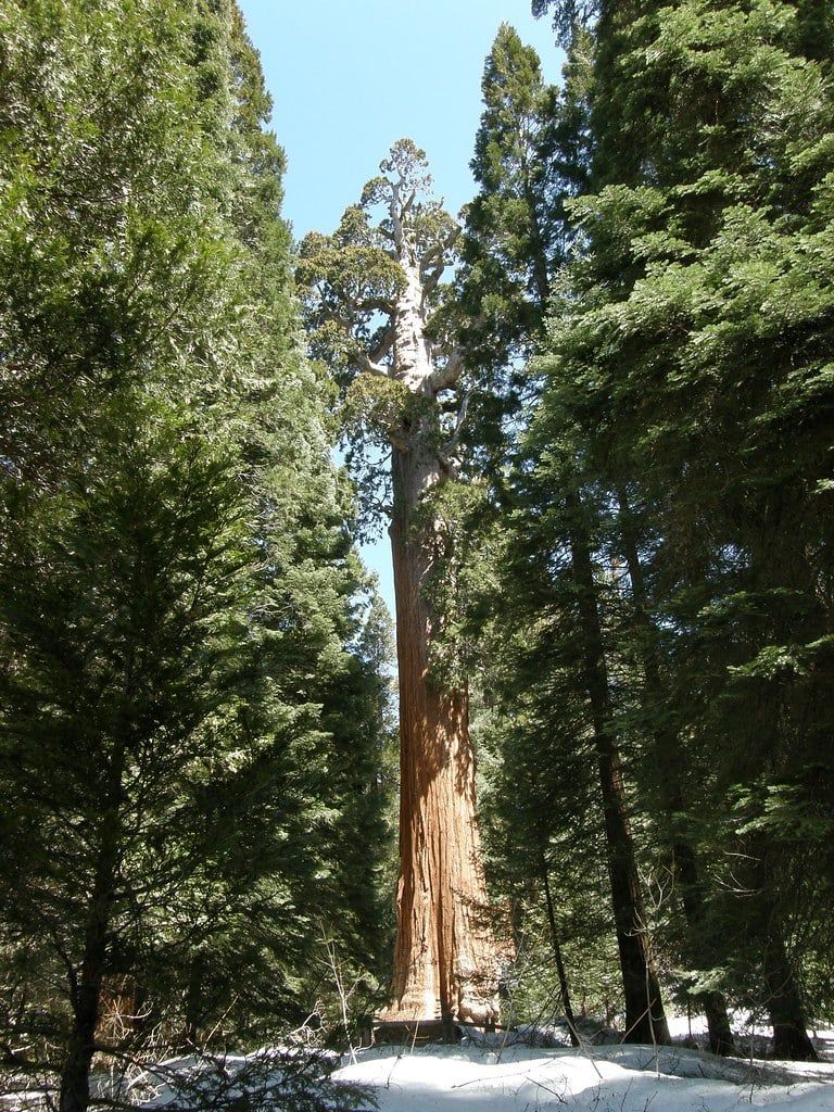
Start at the General Sherman Tree — the largest tree on Earth by volume at 52,508 cubic feet and 274.9 feet tall, over 2,000 years old. The half-mile paved trail descends to it, which means an uphill walk back; take it slow at 6,400 feet. From there, the two-mile Congress Trail loop connects Sherman to the President Tree and other named giants through the largest unlogged sequoia grove on Earth.
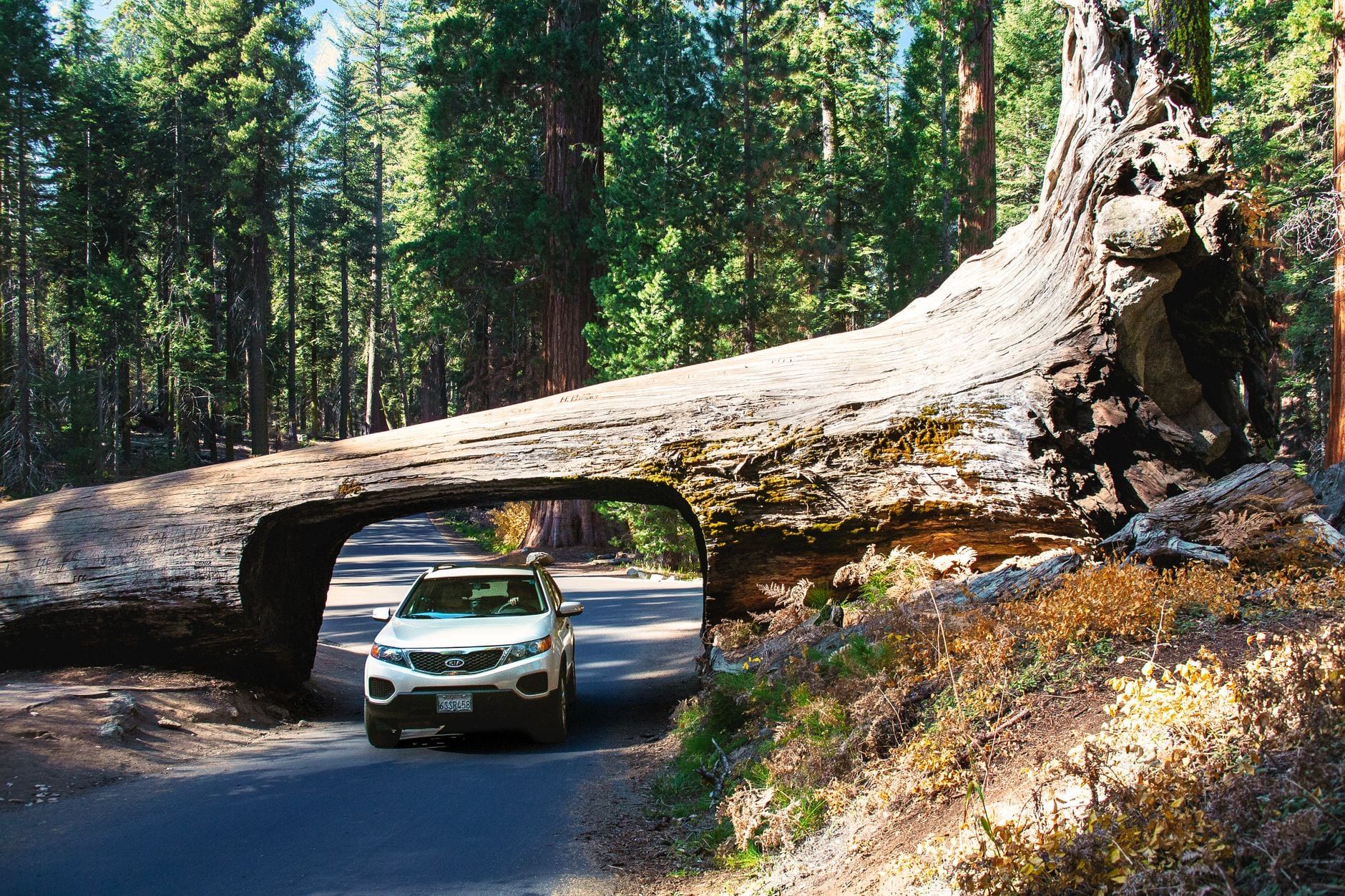
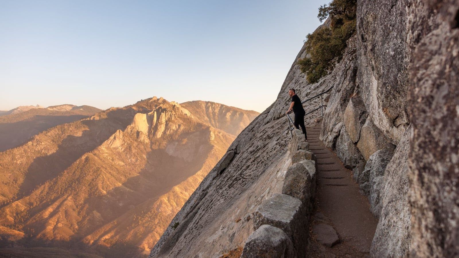
Afternoon: climb Moro Rock's 400 stone steps to a 6,725-foot granite dome with views across the Great Western Divide, then drive through the Tunnel Log — a fallen sequoia with a car-sized hole cut in 1937. Note that the Tunnel Log road closes to private vehicles after 8 a.m. in peak season, so do it early or ride the free shuttle. If you have energy left, Crystal Cave runs 50-minute guided tours of its marble passages at a constant 48°F; tickets must be bought in advance in Three Rivers and are never sold at the cave — our Crystal Cave guide covers booking and the steep half-mile walk down.
What a Yosemite day looks like
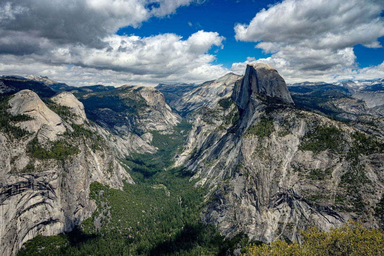
The Mist Trail to Vernal Fall is the classic half-day hike — steep, soaked with spray in spring, and unforgettable in the good sense of the word. Pair it with a drive or bus to Glacier Point for the overhead view of Half Dome, or the shorter walk to Taft Point if the parking gods are unkind. Use the free valley shuttle rather than fighting for spaces. One permit note: Half Dome's cables require a permit while they're up, generally late May through mid-October.
Where does Kings Canyon fit? If you're on the Highway 180 route, Grant Grove works as a stop on transfer day. Cedar Grove — the deepest-canyon scenery that rivals Yosemite Valley — deserves its own half day, but only when the byway is open.
Fuel, Fees, Reservations, and Road Rules
This is the layer that actually ruins trips, so read it twice. Fuel first: there are no gas stations or EV chargers inside Sequoia and Kings Canyon — the only exception is a seasonal station at Stony Creek Village on the Generals Highway. Fill up in Fresno, Visalia, or Three Rivers and enter with a full tank or charge.
Vehicle length matters on this route. Vehicles over 24 feet aren't advised between the Foothills Visitor Center and Potwisha Campground, and anything over 22 feet shouldn't attempt the stretch from Potwisha to the Giant Forest Museum. Crystal Cave Road has a 22-foot combined-length limit. The Highway 180 entrance is the gentler approach for bigger vehicles — straighter, wider, less steep than 198.
Expect entrance-station lines on summer Fridays, Saturdays, and holidays from Memorial Day to Labor Day. Budget a wait, or arrive before mid-morning. Current fees: $35 per vehicle per park, valid 1–7 days — and the Sequoia pass also covers Kings Canyon and the Hume Lake district, so the whole three-park trip costs $70 in individual entries. The $80 America the Beautiful annual pass covers all of it for a year and pays for itself if you visit any other federal site. Entrance stations take card and mobile payment only; full detail is on our hours and fees page.
Reservations: Yosemite dropped its timed-entry reservation system for 2026, so no booking is needed to enter — just the entrance fee. Half Dome needs its own permit (late May to mid-October, lottery-based), and Crystal Cave tickets must be pre-purchased. Verify current-year rules before you lock in dates; these policies have changed more than once.
Bears, in one paragraph. Never leave food, trash, or scented items — toothpaste, sunscreen, that half a granola bar — in your car or tent; use the bear boxes provided at every campground and trailhead, and know that improper storage earns fines. Bear spray is illegal in Yosemite, Sequoia, and Kings Canyon, so don't pack it. A fed bear is a dead bear, and the food-storage rules are what keep them wild.
Where to Stay and Fly: Gateway Towns and Airports
Two decisions close out the logistics: where you sleep and where you land. Both come down to position on the route — the right gateway town saves you an hour of mountain driving each way.
Choosing your base town
Position decides this one. Oakhurst, at Yosemite's south entrance, is the natural pre-drive night if you're leaving the Valley — rooms are easier to find than in the park and you skip the valley-exit traffic. Fresno is the midpoint: the largest services on the route, plus the airport. On the Sequoia side, Visalia is the nearest full-service city, 36 miles and about 45 minutes from the Ash Mountain entrance, while Three Rivers sits closest to the gate — but it's still about an hour to the main sights once you're inside.
Inside the parks, Wuksachi Lodge is a six-minute drive from the General Sherman Tree — the most convenient bed in Sequoia. John Muir Lodge at Grant Grove puts you in Kings Canyon's groves. Yosemite's valley lodges book out months ahead. Campgrounds in both parks go through recreation.gov, and everything — lodges especially — should be reserved the day your dates are set.
Flying in
Fresno Yosemite International (FAT) is the airport built for this trip: about 96 miles to Yosemite, an hour and a quarter to Kings Canyon's entrance, and an hour and three-quarters to Ash Mountain. Los Angeles is 225 miles (four hours) from Ash Mountain, and San Francisco is under 200 miles from Yosemite — which is why SF-based trips usually run Yosemite first and drive south, while LA-based trips do the reverse.
Rental-wise, all-wheel drive earns its keep in the shoulder seasons, though it's not required in summer. Campervans work well on this route — just check your vehicle against the Generals Highway length advisories before you book, and confirm the company's policy on carrying chains.
No Car? Buses and Shuttles for This Route
Doing this route car-free is possible, with one gap. On the Yosemite side, YARTS buses run year-round on the Merced route (seasonally from Sonora and Fresno too), and the fare — a few dollars to around $44 — includes park entry. On the Sequoia side, the Sequoia Shuttle connects the Visalia Transit Center to the Giant Forest area from late May through early September: $20 round trip, reservations required, 16-seat buses. Free in-park shuttles then cover the Giant Forest and Lodgepole stops all summer.
The gap is Kings Canyon. No shuttle or public transportation reaches it, so the canyon itself requires a vehicle. If you want the full three-park route without driving, your realistic option is a guided tour — the Sequoia tours from this site handle the mountain roads — otherwise rent a car and keep it simple.
FAQs: Yosemite to Sequoia
How far is Sequoia National Park from Yosemite?
Entrance to entrance it's about 138 miles (222 km), around 2.5 hours. From Yosemite Valley to Giant Forest — the realistic measurement for most trips — it's about 175 miles and 4 to 4.5 hours via Highways 41 and 180. The NPS lists Yosemite's Highway 41 entrance to Kings Canyon's Big Stump entrance at 130 miles, about 2.5 hours.
Is there a direct road between Yosemite and Sequoia?
No. No paved road crosses the Sierra crest through Sequoia and Kings Canyon — only hiking trails connect the west and east sides. Every driving route drops south through the Central Valley near Fresno and climbs back up on Highway 198 or Highway 180.
Can you do Yosemite and Sequoia in one day?
Technically yes, but it's a bad trade. The transfer alone takes 2.5 to 4.5 hours, leaving only a couple of hours in each park — enough for General Sherman and a valley drive-by. At least one full day per park is the realistic minimum.
Which route is better: Highway 198 or Highway 180?
Highway 198 via Ash Mountain is the fastest way to Giant Forest. Highway 180 adds roughly 30 minutes but delivers Big Stump Grove, the General Grant Tree, and the Generals Highway drive through Kings Canyon — and the NPS calls 180 the preferred route for longer vehicles because it's straighter and wider.
Do I need a reservation or permit to enter the parks?
Yosemite dropped its timed-entry reservation system for 2026, so entry just requires the $35-per-vehicle fee. Half Dome needs a separate permit while the cables are up (late May to mid-October), and Crystal Cave tours require advance ticket purchase. Check current-year rules before booking, since policies change.
When do the roads close for winter?
Highway 180 into Kings Canyon's canyon floor closes mid-November to late April. Tioga and Glacier Point roads in Yosemite close roughly November to late May or June. Snow chains can be required September through May even on four-wheel-drive vehicles.
Where should I stay between Yosemite and Sequoia?
Oakhurst for Yosemite's south entrance, Fresno as the midpoint (with the airport), and Visalia or Three Rivers on the Sequoia side — Visalia is about 36 miles from the Ash Mountain entrance. In-park, Wuksachi Lodge sits six minutes from the General Sherman Tree and John Muir Lodge serves Kings Canyon. Book everything as early as you can.
Is there gas inside the parks?
Essentially no. There are no gas stations or EV chargers inside Sequoia and Kings Canyon's boundaries, apart from a seasonal station at Stony Creek Village. Fill up in Fresno, Visalia, or Three Rivers and enter with a full tank or charge.