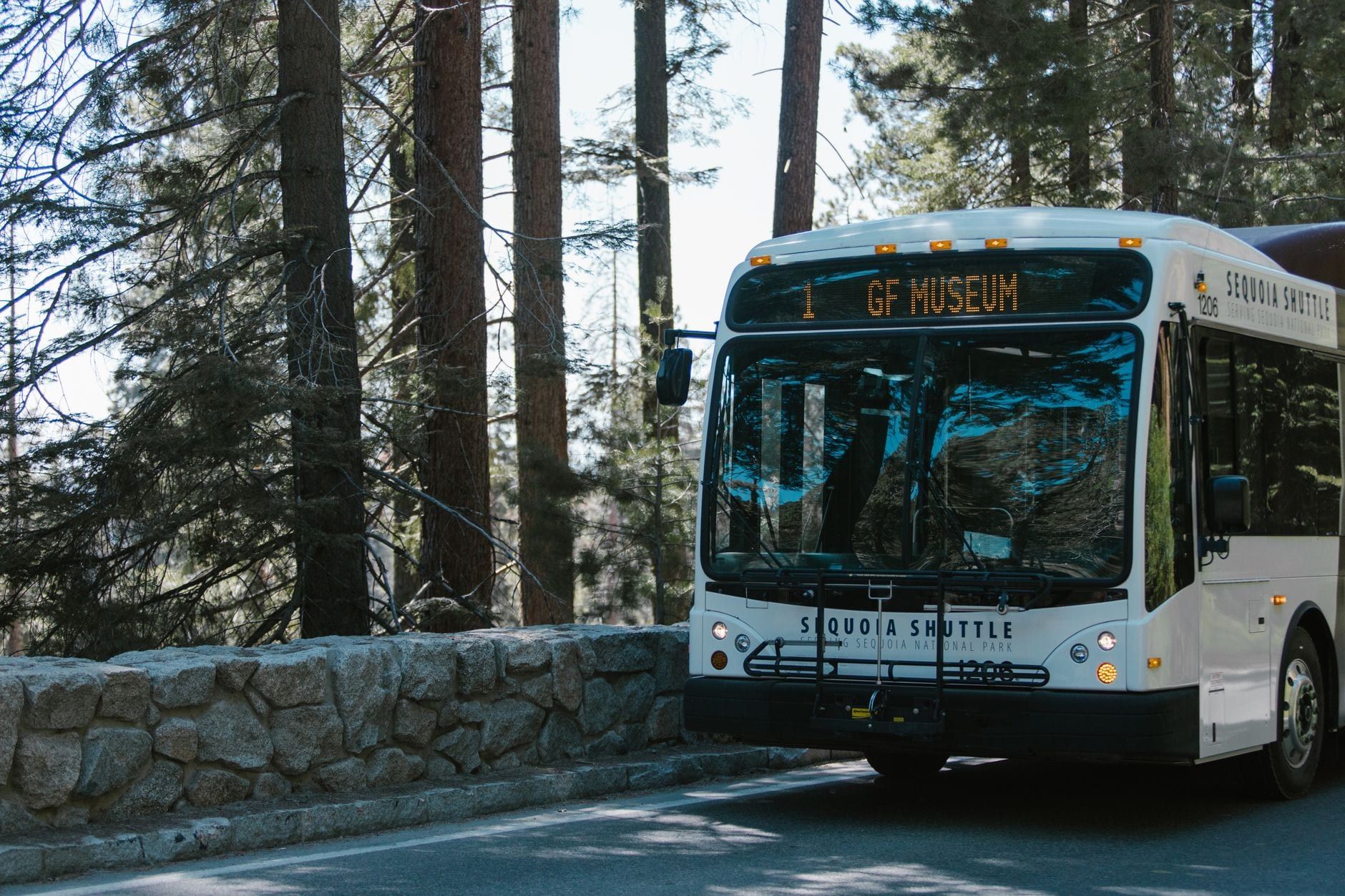
There is no straight line from Death Valley to Sequoia National Park. The Sierra Nevada sits between the two parks with no road across it, so every route loops south around the range: about 310 miles and five and a half hours on the fastest roads, more if you take the scenic Kern River drive or stop along the way. That's too much to bolt onto a full day of touring either park, which is the single fact that should shape your plan.
Most people drive this corridor as one leg of a bigger trip — Las Vegas to Death Valley to Sequoia, or the reverse — and our Las Vegas to Sequoia route guide covers that end of the loop. This one covers the transfer itself: the two realistic routes, where to sleep, what's worth stopping for, and the warnings that matter on a drive that runs from below-sea-level desert to 7,000-foot forest.
Death Valley to Sequoia: Distance, Drive Time, and Why Every Article Disagrees
Google this drive and you'll find five different answers: 215 miles, 300, 310, 327, 407. They're all describing real routes — they just measure different endpoints. The National Park Service's official figure is 310 miles and 5 hours 25 minutes from Death Valley's West Entrance to Sequoia's Ash Mountain Entrance. Measure from Stovepipe Wells, deep inside Death Valley, to the Foothill Visitor Center inside Sequoia, and you get about 300 miles and at least 5 hours 15 minutes. Wanderlog, using endpoints even deeper inside both parks, quotes 327 miles and nearly 8 hours in traffic.
The number matters less than the reason behind it: NPS states plainly that no roads cross the mountains west-to-east through Sequoia and Kings Canyon. The only shortcut is CA-120 over Tioga Pass through Yosemite, summer-only, and it sends you hours north before you've gained anything. Everyone else loops south via Bakersfield.
So build the plan around a split. Leave one park early, break the drive with a night in Ridgecrest or Bakersfield, and reach the other park with daylight to spare. Trying to tour Death Valley in the morning and stand under the General Sherman Tree by evening is the mistake this route punishes.
The Fastest Route: CA-190 to US-395 to CA-14 to CA-58 to CA-99 to CA-198
This is the route the NPS itself publishes, and the one you'll drive if the goal is simply to be in Sequoia by afternoon. From the west side of Death Valley, take CA-190 west past Panamint Springs, over Towne Pass, and down to Olancha on US-395 — that's your first reliable fuel and food since leaving the valley. Turn left (south) onto CA-14 at Inyokern and continue to Mojave, a stretch with almost nothing in between, so top off the tank at Olancha or Inyokern.
At Mojave, turn right onto CA-58 and climb through Tehachapi, the last town with full services before the drop into the San Joaquin Valley. CA-58 ends at Bakersfield, where you pick up CA-99 north for a few miles and take exit 96 onto CA-198 east through Visalia. From Visalia it's a straight shot up the canyon to the Ash Mountain entrance. Full directions to Sequoia National Park, including options from every direction, are on our routes page.
Two GPS traps, both flagged by the NPS. First, mapping apps sometimes route drivers onto remote unpaved roads near the parks — people get stranded that way, so stay on paved highways and enter Sequoia on Highway 198. Second, if your app is set to "avoid tolls," it may invent a detour; there are no tolls on this route, so switch the setting off.
Driving the other direction? From Sequoia, the only road out to Bakersfield is SR 65 through the farmland around Porterville, then SR 58 east toward Mojave. Everything else in this article simply runs in reverse.
The Scenic Route: CA-178 Over Walker Pass and Down the Kern River
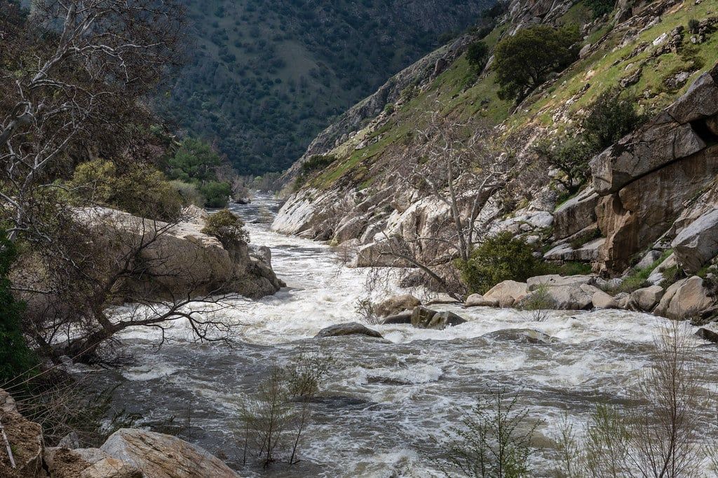
The alternative leaves the fast route at Inyokern. Instead of CA-14, take CA-178 west through Ridgecrest, over Walker Pass, past Lake Isabella, and down the Kern River Canyon into Bakersfield — then rejoin CA-99 and CA-198 as before. It costs almost nothing: the scenic routing is just 7.5 miles longer and adds 20 to 30 minutes, according to route comparisons of the two options.
What those minutes buy is the best driving on the corridor. CA-178 climbs through a Joshua tree forest to Walker Pass, drops into the green valley around Weldon, then bends along the shore of Lake Isabella before threading the Kern River Canyon — a winding, cliff-lined descent that's the polar opposite of the flat desert you left that morning. It's slow going and hilly, so the real cost is attention, not time.
Fuel is the catch. After Bakersfield, the only gas station on this routing is in Mountain Mesa, near Lake Isabella — fill up in Bakersfield (or Ridgecrest, coming the other way) before you commit. In winter, check Caltrans and the park's road status before leaving: Walker Pass usually stays open, but storms slow the canyon stretches and chains can be required on the Sequoia side.
Fast Route vs Scenic Route: Which One Should You Drive?
The choice only exists between Ridgecrest and Bakersfield — north of Ridgecrest and south of Bakersfield, both routes share the same roads. Here's the honest side-by-side:
| Fast route (CA-14 / CA-58) | Scenic route (CA-178 / Kern River) | |
|---|---|---|
| Distance | 310 mi (NPS official route) | About 318 mi |
| Drive time | 5 hr 25 min | Roughly 5 hr 45 min – 6 hr |
| Road character | Mostly four-lane highway after US-395 | Winding two-lane over Walker Pass and down Kern River Canyon |
| Fuel stops | Mojave, Tehachapi, Bakersfield | Mountain Mesa only, west of Bakersfield |
| Scenery | Desert basin, Tehachapi crest, valley farmland | Joshua tree forest, Lake Isabella, Kern River Canyon |
| Best for | Same-day transfers; families maxing park time | Photographers and leisure drivers with a full travel day |
The verdict: take the fast route if you're transferring between parks in one push — it has services when you need them and demands less from a tired driver. Take CA-178 if the drive itself is part of the trip and you've budgeted a full day for it. In snow, the fast route's Tehachapi segment is the safer bet; either way, check road status that morning.
Where to Break Up the Drive: Best Overnight Stops
One night in the middle turns a 5.5-hour grind into two comfortable halves. The four candidates, with the split math for both directions:
| Town | To Sequoia entrance | To Stovepipe Wells | Pick it when |
|---|---|---|---|
| Ridgecrest | ~196 mi / just under 4 hr | ~96 mi / 1 hr 40 min | You want even halves and reliable chain motels |
| Bakersfield | 93 mi / just under 2 hr | ~202 mi / about 3 hr 30 min | You want the shortest morning run into Sequoia |
| Three Rivers / Visalia | At the gate / 36 mi from Visalia | ~300 mi / 5+ hr | Sequoia is tomorrow and you want to beat the entrance queue |
Ridgecrest: the best halfway split
Ridgecrest is the practical answer for most trips. It sits 196 miles — just under four hours — from Sequoia's Foothill Visitor Center, and about 96 miles, or 1 hour 40 minutes, from Stovepipe Wells, so both days feel fair. It's a real desert town with chain motels, restaurants, and cheap gas, and the Trona Pinnacles are a short detour away if you have evening light to spare. The Maturango Museum is a decent wet-weather stop too.
Bakersfield: sleep close to the trees
Bakersfield leaves just 93 miles — under two hours — to Sequoia's entrance, at the cost of a 202-mile, roughly 3.5-hour second day if you're heading back toward Death Valley. Big-city hotel and food options make it the comfortable pick, and it's the obvious choice westbound: push the miles today, wake up next to the park.
Tehachapi and Lake Isabella: niche picks
Tehachapi, on the fast route at the top of the CA-58 climb, is a small mountain town with a handful of motels — useful if you can't make Bakersfield but don't want to stop in the valley heat. On the scenic route, Mountain Mesa and Lake Isabella have modest lodging and put you at the mouth of the Kern River Canyon for the morning. Neither has Ridgecrest's range of services.
Three Rivers and Visalia: the gateway play
If Sequoia is tomorrow's destination and you can reach it, sleep in Three Rivers — the last town before the Ash Mountain entrance — or Visalia, 36 miles and about 45 minutes down the hill. You'll roll through the gate before the line forms, which on summer Fridays, Saturdays, and holidays between Memorial Day and Labor Day can stretch well back from the station.
Direction matters here. Westbound toward Sequoia, push to Bakersfield or beyond — you want to arrive at the park with energy and daylight. Eastbound toward Death Valley, stop at Ridgecrest and leave at dawn: the valley's heat is punishing by mid-afternoon, so arrive no later than mid-morning. And if you're coming from Las Vegas, don't try to tour Death Valley and drive all the way to Bakersfield the same day — five to six hours behind the wheel is the sensible ceiling on this corridor.
What to See Between the Two Parks (Without Blowing Your Schedule)
Most "stops between the parks" lists are actually attractions inside the parks. These are the detours that sit on the corridor itself, sequenced by route and labeled with what they cost your day.
On the way out of Death Valley (CA-190 west)
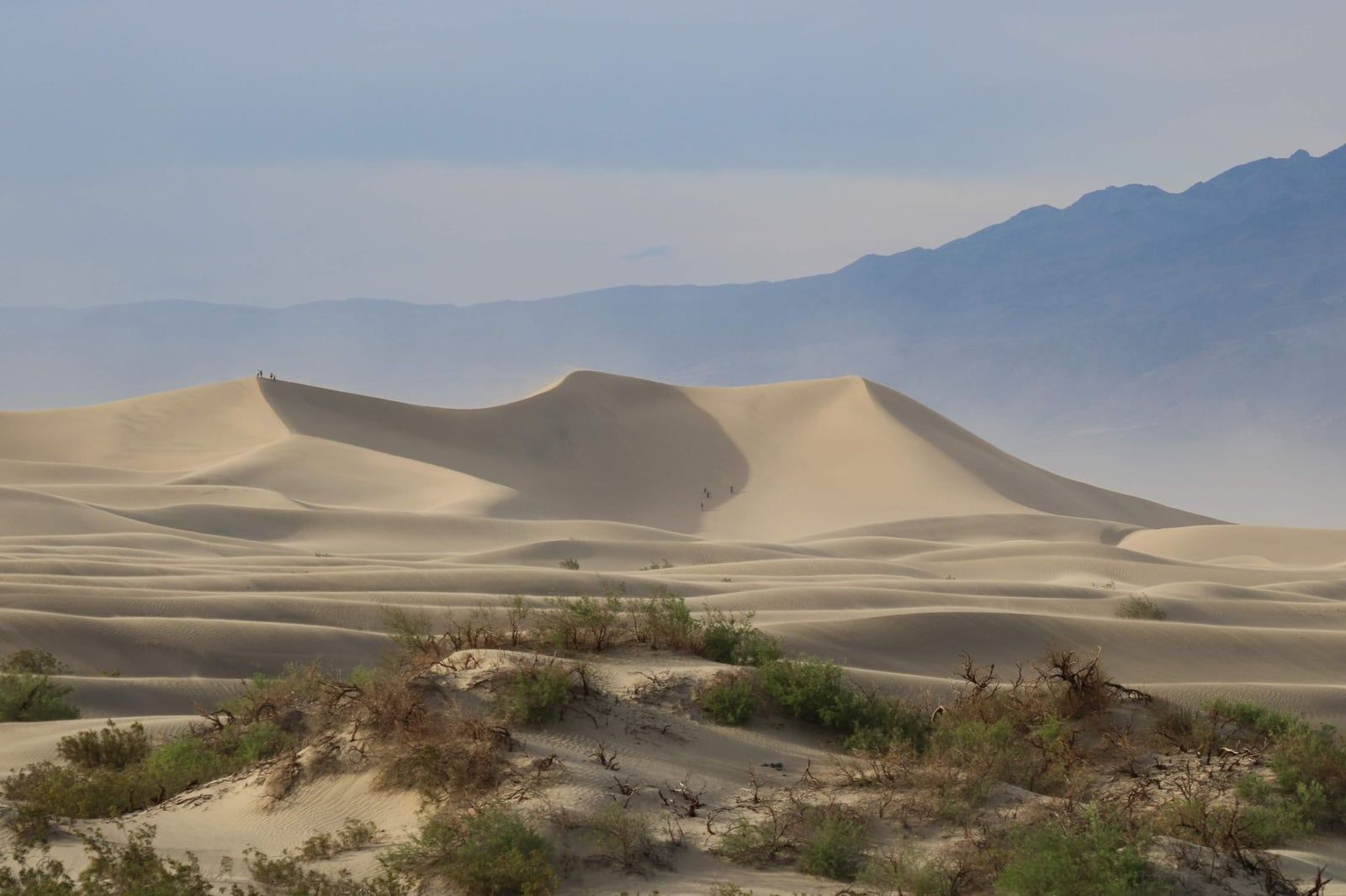
The Mesquite Flat Sand Dunes sit right beside Stovepipe Wells, with dunes up to about 100 feet and roughly two miles of walking to the tallest crests — best at dawn, when the light rakes the ridges and the sand is still cool. Mosaic Canyon's polished marble slot sections begin minutes from the same turnoff; the full out-and-back is four miles, but the first half-mile alone shows you why people go. Farther west, Darwin Falls drops 80 feet into a genuine desert oasis reached by a two-mile hike from near Panamint Springs — the last green thing you'll see for hours.
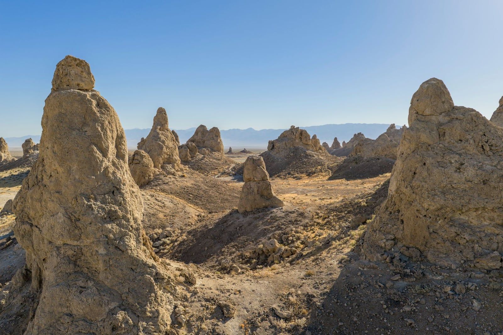
Trona Pinnacles
Ridgecrest's headline detour. More than a hundred white tufa towers rise from the dry lakebed of Searles Valley, reached by a maintained dirt road south of town — allow one to two hours round trip, more if you walk among the spires. The road is washboard-rough but passable for most cars dry. If you're a ghost-town type, the 1897 mining ruin of Ballarat sits a dirt-road hop off Trona-Wildrose Road to the north, abandoned since shortly after 1917.
Red Rock Canyon State Park (fast route)
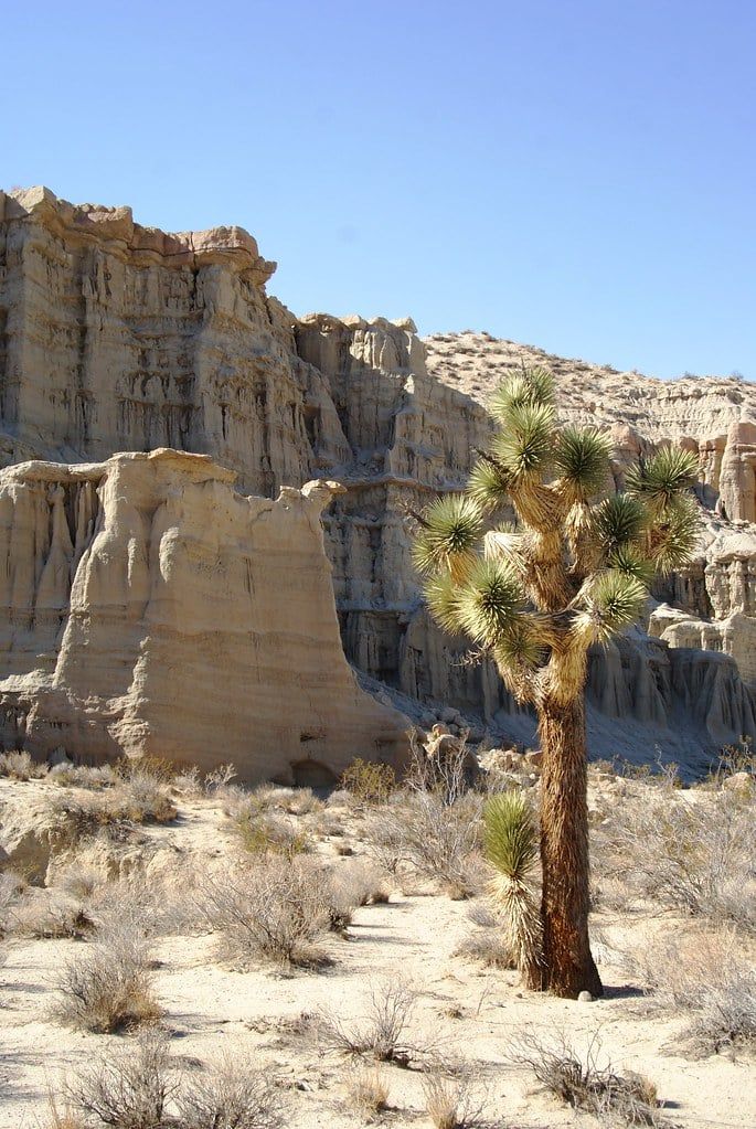
Red Rock Canyon sits directly on CA-14 a couple of miles past Cantil — you drive through it, no detour needed, if you're on the fast route. Rust and cream cliffs line the highway; it's open dawn to dusk and has served as a film location for decades. Coming from the scenic route, it's about a 37-mile round trip, so only worth it if the cliffs genuinely appeal. The fast route's other stops are quick ones: the Tehachapi Loop near Keene (SR-58 exit 139, then Woodford-Tehachapi Road), a National Historic Landmark railroad spiral where roughly 40 trains a day wind the circle, and the César E. Chávez National Monument in Keene itself.
Along the Kern River (scenic route)
Silver City, in Bodfish near Lake Isabella, is a composite ghost town of 21 restored buildings salvaged from around the region — around $5.50 for adults, open 10 a.m. to 4 p.m., and an easy 30-minute wander. Farther down the canyon, Remington Hot Springs is the last free riverside soak before Bakersfield, a short 0.4-mile walk from Kern River Canyon Road to stone-lined pools beside the water. Families with kids, meanwhile, tend to vote for Murray Family Farms' Big Red Barn on Bakersfield's outskirts — fruit, animals, and a place to run around after a day in the car.
The Final Stretch: Driving Into Sequoia National Park
From Visalia, CA-198 runs 36 miles — about 45 minutes — up to the Ash Mountain entrance, and that's the easy part. Past the gate, the Generals Highway is steep, narrow, and relentlessly winding as it climbs toward Giant Forest; budget an hour or more from the entrance to the General Sherman Tree area, more in traffic or snow. Vehicles longer than 24 feet aren't advised between the Foothills Visitor Center and Potwisha Campground, and the limit drops to 22 feet between Potwisha and the Giant Forest Museum. If you're towing a big RV, reconsider the route or unhitch.
Fill your tank in Visalia or Three Rivers. There are no gas stations or EV chargers inside Sequoia or Kings Canyon — the closest options are back down the hill, or limited seasonal stations on national forest land near Hume Lake. Cell coverage disappears on the climb, so sort your plans before the entrance.
Entry costs $35 per private vehicle, valid seven days and also covering Kings Canyon — a natural pairing, and our Kings Canyon vs Sequoia comparison helps you decide whether to add it. Non-US residents 16 and over pay an additional $100 per person unless they hold a pass. For this two-park trip, the math favors the America the Beautiful annual pass at $80 for US residents ($250 for the non-resident version) — it covers Death Valley and Sequoia on one card. Current hours and fees are worth a check before you go.
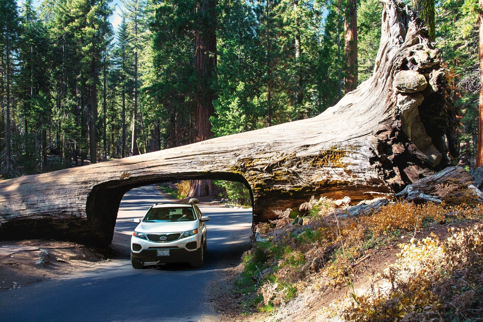
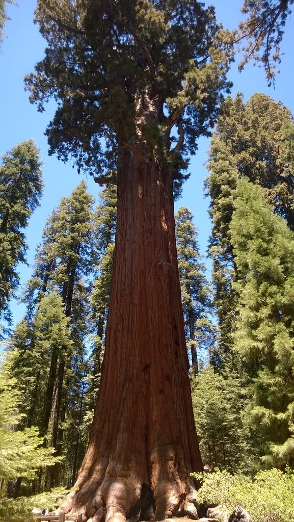
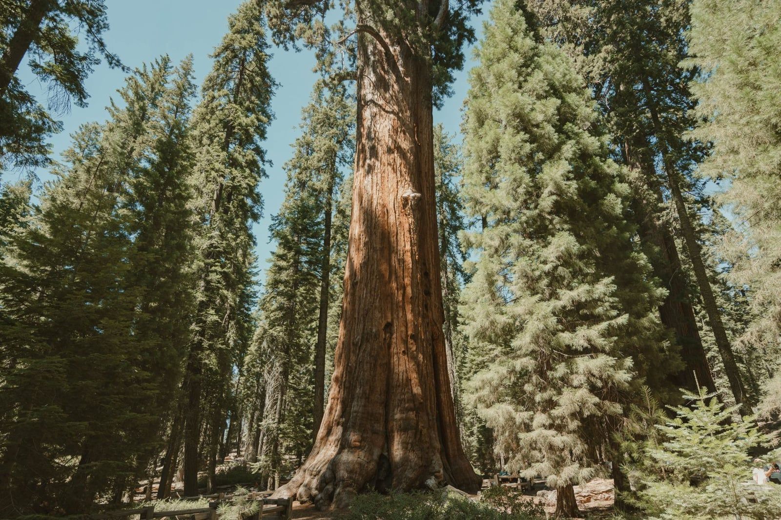
Arrive with daylight to spare and the quick wins are all within a short drive of each other: the paved half-mile trail to the General Sherman Tree, the world's largest by volume at 52,508 cubic feet; the Giant Forest Museum; the 400 steps up Moro Rock, a 6,725-foot granite dome with views over the Great Western Divide; and the Tunnel Log, a fallen sequoia you can drive through on the Moro Rock–Crescent Meadow road. Our things to do in Sequoia guide covers the full menu, and the best hikes in Sequoia picks up from the Congress Trail, the two-mile loop past the President Tree that starts at Sherman.
Seasonal Timing, Fuel, and Safety on the Death Valley–Sequoia Corridor
Spring and fall are the sweet spot: Death Valley is bearable and the Sierra passes are usually clear. Summer works, but only if you cross the desert early — arrive in Death Valley no later than mid-morning, carry more water than you think you need, and don't push through the afternoon heat with a five-hour drive still ahead of you. Winter flips the problem: Death Valley is glorious, but chains may be required on Sequoia's park roads at any time during snowy weather, and the parks' road-status line (559-565-3341) is worth a call the morning you leave.
Fuel discipline is the corridor's quiet rule. The empty legs — CA-190 west of Stovepipe Wells, US-395 to CA-14, and CA-178 west of Mountain Mesa — can run 60 miles or more with nothing, and there's no gas inside Sequoia at all. Top off at Ridgecrest or Bakersfield even when the gauge looks fine, and again in Visalia or Three Rivers before the climb. Cell coverage comes and goes for most of the drive; don't count on it for navigation or rescue. For what changes month to month on the Sequoia side, our Sequoia in winter guide has the details.
Frequently asked questions
How far is the drive from Death Valley to Sequoia National Park?
It depends on your endpoints. The NPS official route from Death Valley's West Entrance to Sequoia's Ash Mountain Entrance is 310 miles, about 5 hours 25 minutes. Measuring Stovepipe Wells to the Foothill Visitor Center gives roughly 300 miles and 5 hours 15 minutes; deeper-in-the-park endpoints push it toward 327 miles. There is no direct road — every route loops south around the Sierra Nevada.
Can you drive from Death Valley to Sequoia in one day?
The pure drive takes about five and a half hours, so yes — but touring both parks in the same day is not realistic. The sensible plan is to leave early, split the trip with a night in Ridgecrest or Bakersfield, and give each park its own daylight.
Is there a road across the Sierra Nevada between the two parks?
No. The NPS confirms no roads cross the mountains west-to-east through Sequoia and Kings Canyon. You either loop south via Bakersfield, or take CA-120 over Tioga Pass through Yosemite — the only 'shortcut,' and only open in summer.
What is the most scenic route between Death Valley and Sequoia?
CA-178 over Walker Pass, past Lake Isabella and down the Kern River Canyon. It runs through Joshua tree forest and river scenery and costs only about 7.5 miles and 20–30 minutes more than the fastest route.
Where should I stop overnight between Death Valley and Sequoia?
Ridgecrest is the best halfway split — about 196 miles from Sequoia's Foothill Visitor Center and 96 miles from Stovepipe Wells, with reliable motels. Bakersfield works if you want to wake up closest to Sequoia (93 miles). Three Rivers or Visalia are the picks when Sequoia is tomorrow's destination.
Do I need tire chains to drive this route in winter?
Possibly. The NPS says chains may be required on park roads in snowy weather. CA-178 over Walker Pass is usually open in winter but slow and winding. Check Caltrans and park road status the morning you leave, and carry chains from November through April.
Is there gas available inside the parks or along the route?
Not inside the parks — Sequoia and Kings Canyon have no gas stations or EV chargers within their boundaries. On the route, fuel is scarce: the only station on the CA-178 scenic stretch after Bakersfield is in Mountain Mesa. Fill up at Ridgecrest, Bakersfield, Visalia, or Three Rivers.
How much does it cost to enter both parks?
Sequoia & Kings Canyon charges $35 per vehicle for up to seven days (plus a $100 per-person surcharge for non-US residents); Death Valley's standard entrance runs $15–$30. The $80 America the Beautiful annual pass ($250 for the non-resident version) covers both parks and pays for itself on this trip.